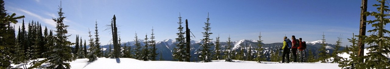

UPDATED (July 2023) - This trail is located 115 km east of Prince George, and 55 km east of Upper Fraser within the McGregor Plateau and McGregor River drainage. Currently the Gleason FSR to the 17.5km parking area is passable (suv or better recommended). The trail was cleared in the summer of 2022 and more chainsaw work was done in late June of 2023. The trail is brushy in sections and may require some route finding but overall it is decently marked with ribbon. There is a run-down but usable guide-outfitter’s cabin by the lake. The lake is surrounded by high mountains and cliffs with Hedrick Mountain 4 km to the west. There is a rough trail around the west side of the lake that provides possible access to Gleason Lake and Plateau to the northwest.
Cleared in summer 2022 and again in June 2023.
Taking the Pass Lake FSR to the Macgregor bridge then follow the Gleason FSR to the 17,5km mark where there is an old road to the left, approx 200m up the old road is suitable for parking. The first approximately 2km follows the old road then look for ribbon marking the start of the actual hiking trail, making a left turn. The old road continues on so again watch for the ribbons marking the start of the route into Hedrick Lake.