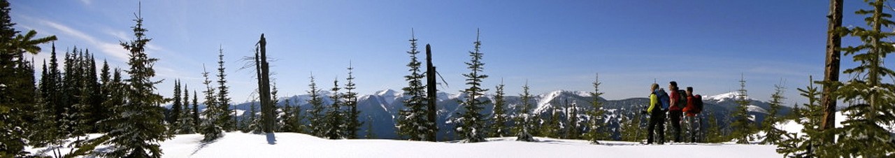

In good weather, Humbug Ridge provides spectacular views of the Rockies to the north and the Fraser River valley and the Cariboo Mountains to the south. It is possible to walk for many kilometres along the ridge, so it is worthwhile to at least spend one night on the ridge.
Easy to follow up the old block road for the first kilometre. The trail is hard to follow as you get to the edge of the old block and enter the old-growth forest. Once in the forest, the ribbons are fairly easy to follow west for about half a kilometre along a bench before heading steeply north and steadily up. Pick your way through the last stand of trees before reaching the alpine. Be careful on the way down that you don’t leave the route to the west – the bush and blowdown on that side is atrocious.
From Prince George, follow Highway 16 east to the Walker Creek FSR (about 138km). Turn left onto the Walker road and follow it north over the Fraser River and then look for the POB road on your right about 1 km later. Take the POB road to about km 8 and park in the old block road to the north. Note that the POB can be very greasy after rain and has some large ruts; vehicles with clearance and or 4x4 may be required.
UPDATE: July 2020. Road access is the issue. Report says the POB Road is washed out just a few hundred meters off the Walker, but not certain. It was barely passable in 2020, and most people had been going in on ATVs. It is about 8 kms to the trailhead, and the road can be pretty bad about half way in.
The trail itself is relatively well marked, and it had been completely cut out with chainsaws in 2020. It's a grunt of a climb, but it is only about 4kms.