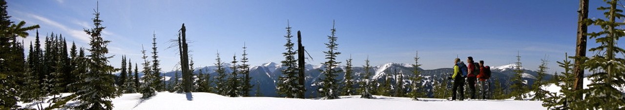

This is a 6 km long trail with a modest rise, which gives good views of the surrounding countryside. A cabin on the viewpoint at the trail end is available for day use. Most of the elevation gain on the this trail is in the first 2 km followed by gentle ups and downs. Several small wetlands are passed along the way.
Mostly very good
NOTE: Currently there is no access to the trailhead due to a washout on the Gregg Creek FSR.
From Prince George, drive west on Highway 16 till you get to the Blackwater road. Turn left onto Blackwater Road and travel approximately 24 km till you get to the Pelican Forest Road. Turn right and travel another 25 km till you reach the 2500 Forest Road (it's a major intersection). Turn right, and travel for 12 km and reach the Gregg Creek Forest Road; Turn right. Proceed 23.5 km, then turn left onto a side road and follow it for 5 km. Park here, ford the creek and follow the road 2 km to you reach the trailhead.
Note that the old route via the Gregg Creek Road is now blocked.