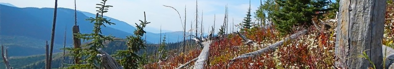

This trail, built in 1980, ascends the southerly ridge to three small lakes where there are many camping opportunities. The summit is 3 kms and 1.5 hrs to the north. This is one of the more attractive alpine areas near Prince George and offers unlimited views. The route from the bottom lake (Emerald Lake) to the summit ridge of Caledonia Mt. itself is in need of clearing and bushwhacking/route finding is required.
Good to first ridges and lake. Route to summit is brushy and good route finding skills is recommended.
UPDATE: The first section of the trail along the old road across the creek has been brushed out as of July 20, 2025.
Follow Hwy 16 east to the Bowron FSR where you will turn right off the Hwy and follow the Bowron Rd south until you reach the start of the Tumuch FSR, turning left follow the Tumuch FSR until the second crossing of Everett Creek at approx. the 51.3km mark (just past the 51km sign). Approx. 400m past the bridge take the fork that goes sharply right and up a short, steep hill. Continue approx. 4.5km on this road staying right (there is a newer block road that heads up hill and dead ends and is not the correct direction to the trailhead). On this road, after the approx. 4.5kms (crossing a couple of bridges) you will reach Everett Creek. The bridge has been removed so one must park here. Logging in 2017 has resulted in improvements to this road. There are a few sturdy logs to cross the creek on.