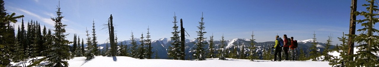

Just 20 minutes south of Prince George, the Red Rock trail system offers a variety of trails with some rolling terrain, and a few steep climbs. Much of the route follow the Fraser River, giving you sweeping views of the surrounding forests and BC's historic waterway. One of the most fascinating stretches traces the cliffs above the Fraser—once the very path used by paddle‑wheeler passengers when crews had to haul the riverboats through the canyon’s rapids. It’s a trail with history underfoot and scenery all around.
There is an easy loop (about 8 km) that is almost entirely flat, with only a handful of short, steep sections. Or, if you’re craving a longer outing, follow the river for a longer loop, stretching your journey to 11.5 km.
Mostly clear.
From Prince George, travel along highway 97 south for about 25 km till you see Red Rock Rd West and turn right. In 2 km, turn right onto Merton Rd. After you cross the railway tracks, take the first right onto a dirt road and follow it for 1.6 km. Along the way, there will be a 90 degree turn to the left then continues straight. Park by the red gate and look for the trailhead.