
This is a very scenic tail which sees very few hikers. At around 2.3 km mark on the the trail you will reach a lookout overlooking the Robson Valley. Another 2km of hiking will take you into the alpine. There are very few trail markers once you reach the alpine. Eventually the trail slopes into another valley where the first views of Bob Lake can be seen. The trail winds its way down to the lake and to Tom's Cabin which is located on the west side of the lake.
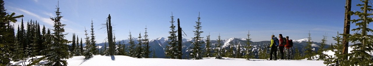
Going a further 600 m you can summit the ridge for some spectacular view. On a clear day you can get great views of Mount Robson and other surrounding peaks.
From Prince George, take Highway 16 East to Dunster (aprox. 237 km). Turn right onto Dunster Station Road and travel 3.7 km till you reach Raush Valley Road. Turn left onto Raush Valley Road then immediately turn right onto Pepper Pit Road. Follow this road for 1.7 km to the parking area.