
The hike is a strenuous ascent to a set of long‑abandoned mica workings situated around the 2,130‑metre level on Mica Mountain. The route starts out along old logging roads and skid trails that were cleared for hikers in 1992, then transitions onto the original mule track at the upper edge of a logging area dating back to the early 1960s.
In the mine’s early days, pack mules hauled out large sheets of mica from a simple excavation perched high on a steep alpine slope. Mica was used for lining wood stoves and insulation early last century. The historic mule trail still winds its way up the brush‑covered mountainside.
At the mine site, a scatter of large mica flakes marks the former loading point. Above the workings, a crescent‑shaped rock shelter sits along the ridge, apparently used by heli‑hikers waiting for pickup.
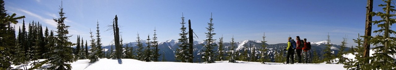
The effort is rewarded with sweeping views over the Robson Valley, including Mt. Robson, Kinbasket Lake, and Canoe Mountain on a clear day. Continuing up to the ridge crest reveals vistas toward the back side of the range.
Plan for about 5 hours round‑trip at a steady pace to reach the mine, or roughly 6 hours if you continue up to the ridge.
Generally well maintained.
From Prince George, travel 270 km on Highway 16 East. At the bottom of the hill as you arrive at Tete Jaune Cache, turn right on Blackman Rd. and then immediately to your left to stay on Blackman Rd. After 3.4 km turn right onto Old Tete Jaune Cache Rd. After 2.2 km turn left at the fork in the road. After 1.4 km, there will be another fork, keep left. Travel another 6.6 km till you reach the trailhead.