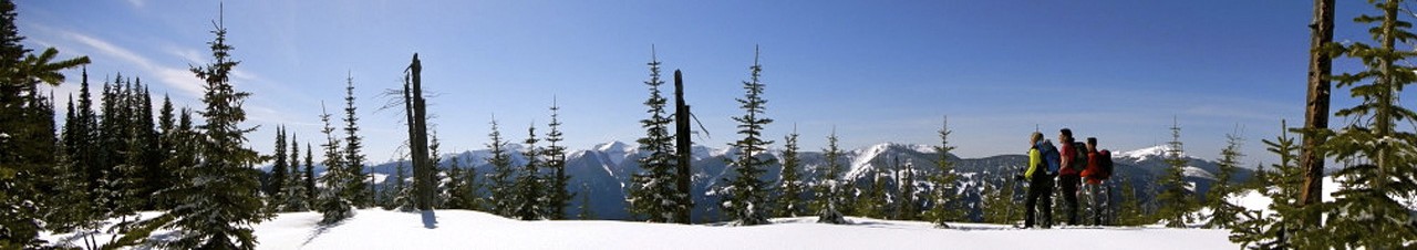

The hike begins through low-elevation forests and follows the remnants of an old community-built trail from the 50’s and 60’s. From there the trail winds through old-growth cedars that are estimated to be more than 800 years old, and through spruce and subalpine fir stands with occasional views over the Robson Valley to the south. The cabin itself looks out across the valley between Red and Green Mountain and was refurbished in 2022.
Trail is in generally good shape with the occasional blowdown and brushy sections.
Water source at the cabin: When facing the cabin from the front, you would head towards the left/back side and there is a pretty well defined trail down to a little creek. There are some decent little pools to collect from and there is a bit of a pipe system set up that might be usable as well. The small diameter PVC pipe system may need some priming in low water conditions.
From Prince George, take Highway 16 East for 18.5 km and turn left onto Upper Fraser Rd. At about the 60.7km mark, turn left onto McGregor Road/Upper Fraser Road and travel a further 1.5 km. Turn left onto Upper Fraser Road and cross the bridge. Turn right onto Church Forest Service Rd about 400 m past the bridge. Church Forest Service Rd turns slightly left and becomes Longworth Rd. Continue on Longworth which will turn into Upper Fraser Rd. Continue on Upper Fraser Rd for 13.3 km at which point it becomes Longworth Rd again. Longworth Rd becomes Grey Rd around the 2.2 km mark. Continue on Grey Rd for 1.2 km and then turn left. It should be the first left after the curve in the road. Travel on this road for 5.3 km till you reach an intersection. Turn right and travel another 11 km till you reach Penny Road. Turn left and travel 1.1 km till you see the old Post Office.
The official trailhead starts at the old Post Office near the sign for “Red Mt. Lake (Grizzly Bear Mountain).” There is also a an unofficial trailhead at KM 13.5 on the Fraser Flats FSR that cuts off the first 4km of the trail.